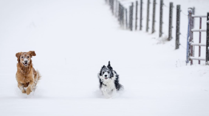
From temps in the 80s to 8 inches of snow: The northern Rockies brace for the first snowfall of the season
The first major snowstorm of the season is expected to hit the northern Cascades, Rockies and North Dakota this week, sending residents searching for their winter coats, gloves and boots and facing much different driving conditions after a warm fall in many places.
The National Weather Service is warning of hazardous travel on snowy mountain passes and ice on some highways when snow initially melts and then freezes as road temperatures drop.
The storm was forecast to come in waves, beginning with rain that fell Tuesday at lower elevations in Washington and snow in the mountains and spreading snow across northern Idaho, Montana, northwestern Wyoming and North Dakota into Friday morning.
Cold air moving down from northwestern Canada has combined with a moist Pacific weather system, leading to freezing temperatures and snowfall amounts up to 18 inches (46 centimeters) in the mountains of Montana, the National Weather Service forecasts. Some higher elevations in the northern Rockies could see snow totals of 2 feet (61 centimeters) or more.
Central Montana will see the worst of the snow, said Matt Ludwig, a meteorologist with the National Weather Service in Great Falls.
“We kind of are the bull’s-eye,” he said.
The first snowfall of the season “is always the most dangerous because people just aren’t used to it yet” after driving for months on mostly dry pavement, Ludwig said. Drivers aren’t used to dealing with less traction, slower speeds and longer stopping distances, he said.
The forecasted snow prompted residents to make appointments to get their snow tires put on and caused some to realize their underground sprinkler systems needed service.
Things started picking up at Eagle Tire in Helena, Montana, where crews swapped out regular tires for snow tires on 30 vehicles on Monday, manager Payton Lester said. He said they had about 40 more appointments to do the same Tuesday.
At Spieker Sprinklers in Helena, the winterization program is full and they had to turn away callers Tuesday, owner Joe Spieker said.
The storm brings a sharp change in weather. Helena tied record temperatures in the lower 80s (high 20s Celsius) late last week, which is about 25 degrees above average for this time of year, Ludwig said. Great Falls also had a day in the low 80s late last week, and now those cities could see 8 inches (20 centimeters) of snow by Wednesday.
“If that’s not a shock to your system, I don’t know what is,” Ludwig said.
Helena Public Schools on Tuesday advised families to check the district website or Facebook page Wednesday morning for information on any school bus delays or cancellations caused by the weather.
“Please check to see if your route is running normally before sending your student to the bus stop,” district transportation manager Drew VanFossen said in a statement. “Do not leave children unattended at their bus stop if conditions deteriorate, and remember to have warm clothes ready for tomorrow morning as we get this first blast of winter.”
The snow is expected to move across northwestern and north-central North Dakota, beginning Tuesday night or early Wednesday and lasting into Thursday night, said Nathan Heinert, a meteorologist with the National Weather Service in Bismarck.
The area of Williston, Watford City and Minot, in North Dakota’s oil field, could receive the heaviest snowfall, potentially 8 inches to a foot (20 to 30 centimeters), Heinert said. Bismarck could see 4 to 6 inches (10 to 15 centimeters) of snow late Thursday after rain Wednesday, he said.
Snow was falling in northwestern Montana, including in Glacier National Park, by midday Tuesday and had started in Helena by Tuesday night. Northwestern Wyoming, including Yellowstone National Park, is also under a winter storm warning, the National Weather Service said. Light snowfall was tapering off Tuesday evening in Alberta, Canada.


